Storm dumps wintry mess
Emergency services officials report only a few power outages, vehicle accidents
-

- Brandi Fitzpatrick clears the windshield of her vehicle as she gets ready to depart her Patton home for work across town on Thursday morning. Mirror photo by Patrick Waksmunski
-
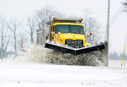
- Eric White of Patton plows out a driveway in Chest Springs on Thursday morning. Mirror photo by Patrick Waksmunski
-
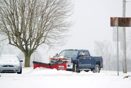
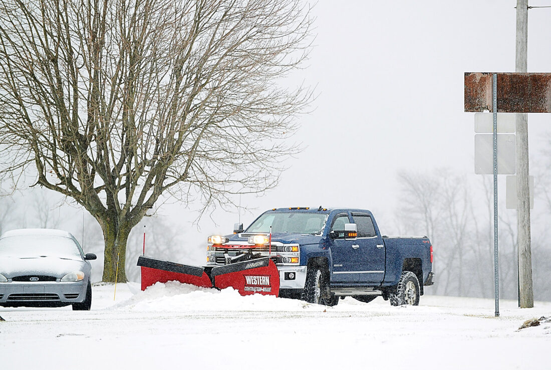
- A PennDOT plow truck pushes snow and slush from Route 36 north of Ashville on Thursday afternoon. Mirror photo by Patrick Waksmunski
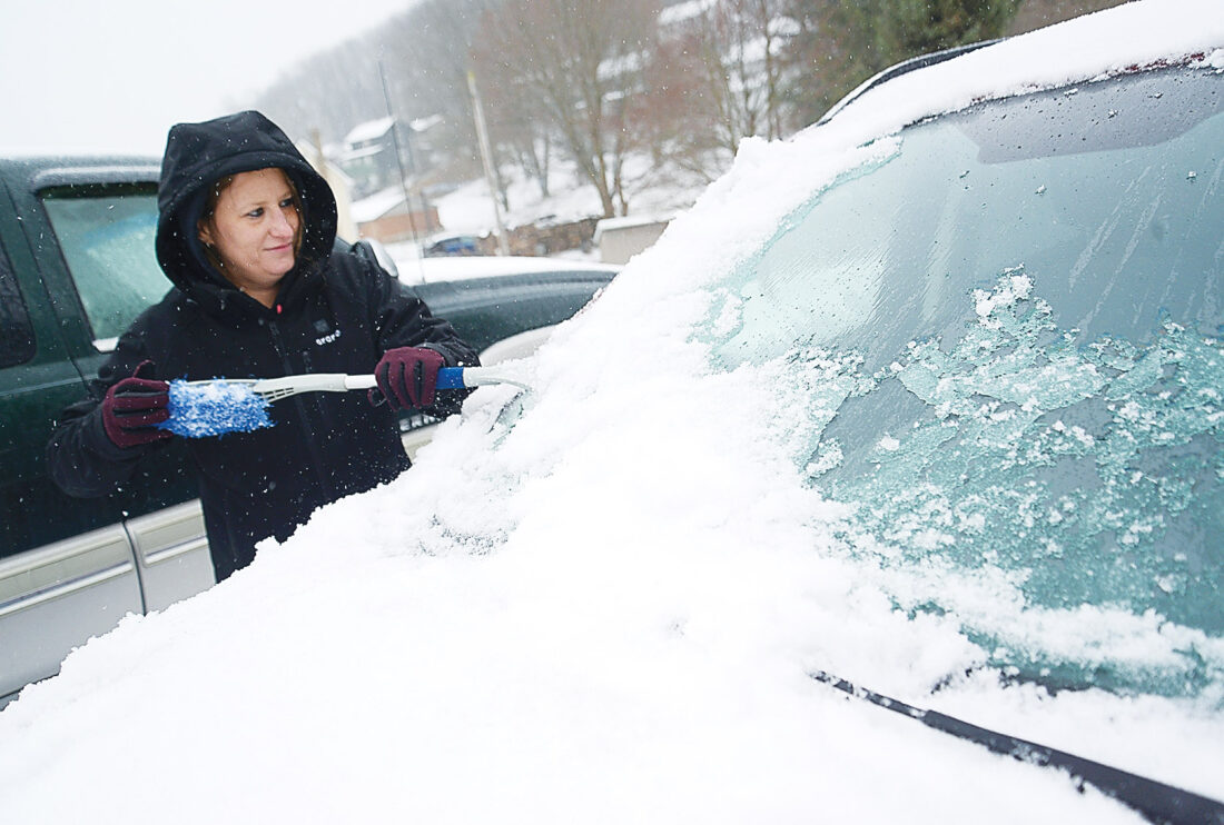
Brandi Fitzpatrick clears the windshield of her vehicle as she gets ready to depart her Patton home for work across town on Thursday morning. Mirror photo by Patrick Waksmunski
The Blair County area received an average of less than an inch of sleet and snow Wednesday night into Thursday, according to Accuweather meteorologist Jake Sojea.
“(Friday) we’re looking at still lingering, light snow and drizzle,” Sojea said. “It should taper off in the morning with temps right around 32 degrees.”
Afternoon temperatures could reach about 40 degrees, he said, melting the slush somewhat.
“We do have a push of colder air behind the storm arriving (Friday) night,” Sojea said. “Temperatures could hit a low of mid-20s (tonight) and one of the hazards we have to watch out for is anything that does melt (today) and doesn’t dry up could refreeze.”
Mark Taylor and Katie Unger, emergency services directors for Blair and Huntingdon counties, respectively, both reported having relatively quiet days Thursday.
Eric White of Patton plows out a driveway in Chest Springs on Thursday morning. Mirror photo by Patrick Waksmunski
“It’s been a pretty good day considering the weather,” Taylor said. “We’ve only had a few power outages and not many bad accidents. So far, so good.”
“It’s more of the sleet stuff than anything,” Unger said.
Emergency services directors for Bedford and Cambria Counties could not be reached for comment.
The National Weather Service issued a code red alert at about 3 p.m. Thursday for a winter storm warning lasting until 7 a.m. today.
The affected counties include Clearfield, Centre, Blair, Huntingdon, Mifflin, Juniata, Bedford and Fulton.

A PennDOT plow truck pushes snow and slush from Route 36 north of Ashville on Thursday afternoon. Mirror photo by Patrick Waksmunski
The alert cautioned that travel “will be very difficult” and said that PennDOT “strongly encourage motorists to heed all travel restrictions and delay unnecessary travel.”
The area is also looking at a “pretty cold week next week,” Sojea said, as a cold front should follow the winter storm.
“We are keying in on another significant winter storm moving up the East Coast that should arrive before Christmas,” Sojea said. “We’re keeping an eye on that. It’s just a matter of exactly where it tracks.”
Mirror Staff Writer Rachel Foor is at 814-946-7458.
Local News

Trump says US military has blockaded Iranian ports to pressure Tehran
Hollidaysburg considers parking system
Hollidayburg Borough Council is considering the purchase of parking management software for the ...

Cove land surveyor finishes career after five decades

Huntingdon’s Standing Stone remains lasting US landmark

New shine